Ground Penetrating Radar (GPR) is a geophysical survey method that uses pulses of electromagnetic radiation to image the subsurface.
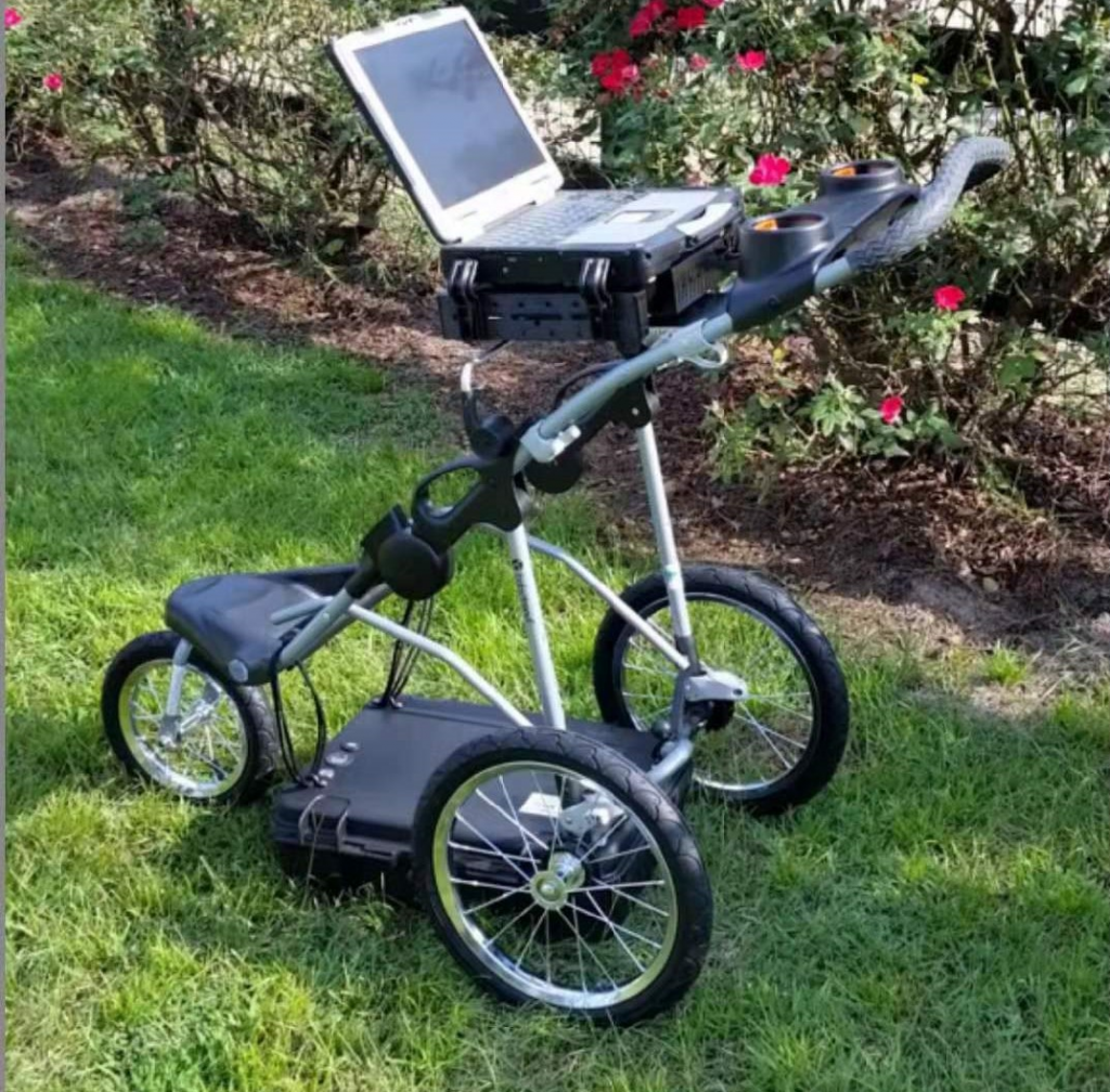
We carry out Ground Penetrating Radar Surveys using UtilityScan GPR & GNSS equipment.
Non-Invasive Underground Utility Mapping serves as GEES Core Business, where we have over 5 years’ experience in detecting and mapping any buried known and unknown services and utilities that may be present within any given site. This comprises metallic and non-metallic services, including Water, Power, Gas, Telecommunications, Fibre Optics, Drainage and other linear targets.GPR can also detect and map subsurface anomalies such as voids and obstructions.
Our Firm delivers underground utility surveys on a regular basis for georeferenced as-built plans within the framework of application on damage prevention of sensitive utilities and pipelines, for which the position of underground utilities must be accurately identified. If you need more reliable, more comprehensive underground utility surveys, we can go further than a simple survey of near surface features, thanks to our specialized tools for detecting difficult to locate underground utilities.