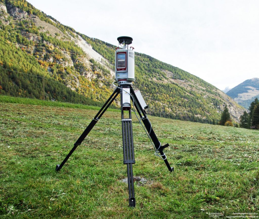
Terrestrial laser scanning is a ground-based version of the airborne LIDAR frequently used for terrain and landscape mapping. Terrestrial laser scanners are a relatively recent development for high-resolution mapping.
Terrestrial laser scanning is a ground-based version of the airborne LIDAR frequently used for terrain and landscape mapping. Terrestrial laser scanners are a relatively recent development for high-resolution mapping.